
Thank you for supporting this site ❤️
Make a donation
Make a donation
Vrh topographic map
Click on the map to display elevation.
Thank you for supporting this site ❤️
Make a donation
Make a donation
About this map
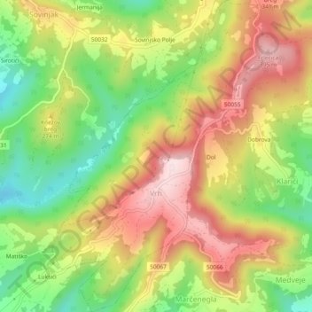
Name: Vrh topographic map, elevation, terrain.
Location: Vrh, Grad Buzet, Istria County, Croatia (45.34705 13.92360 45.37938 13.95429)
Average elevation: 234 m
Minimum elevation: 69 m
Maximum elevation: 399 m
Thank you for supporting this site ❤️
Make a donation
Make a donation
Other topographic maps
Click on a map to view its topography, its elevation and its terrain.