
Thank you for supporting this site ❤️
Make a donation
Make a donation
Butere topographic map
Click on the map to display elevation.
Thank you for supporting this site ❤️
Make a donation
Make a donation
About this map
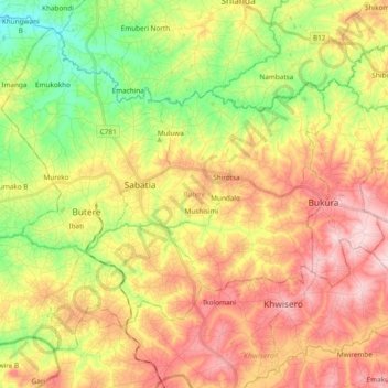
Name: Butere topographic map, elevation, terrain.
Location: Butere, Kakamega County, Western, 50101, Kenya (0.14366 34.42750 0.30637 34.61726)
Average elevation: 1,383 m
Minimum elevation: 1,249 m
Maximum elevation: 1,519 m
Thank you for supporting this site ❤️
Make a donation
Make a donation