
Thank you for supporting this site ❤️
Make a donation
Make a donation
Ellerslie topographic map
Click on the map to display elevation.
Thank you for supporting this site ❤️
Make a donation
Make a donation
About this map
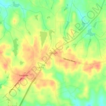
Name: Ellerslie topographic map, elevation, terrain.
Location: Ellerslie, Harris County, Georgia, 31807, United States (32.61135 -84.82175 32.65135 -84.78175)
Average elevation: 208 m
Minimum elevation: 180 m
Maximum elevation: 231 m
Thank you for supporting this site ❤️
Make a donation
Make a donation
Other topographic maps
Click on a map to view its topography, its elevation and its terrain.