
Thank you for supporting this site ❤️
Make a donation
Make a donation
Rodheim-Bieber topographic map
Click on the map to display elevation.
Thank you for supporting this site ❤️
Make a donation
Make a donation
About this map
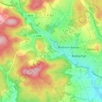
Name: Rodheim-Bieber topographic map, elevation, terrain.
Location: Rodheim-Bieber, Biebertal, Landkreis Gießen, Hesse, Germany (50.60306 8.55929 50.63521 8.62730)
Average elevation: 239 m
Minimum elevation: 171 m
Maximum elevation: 343 m
Thank you for supporting this site ❤️
Make a donation
Make a donation
Other topographic maps
Click on a map to view its topography, its elevation and its terrain.