
The Masthead topographic map
Interactive map
Click on the map to display elevation.
About this map
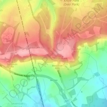
Name: The Masthead topographic map, elevation, terrain.
Location: The Masthead, Sevenoaks, Kent, England, TN15 0RT, United Kingdom (51.23994 0.19472 51.25994 0.21472)
Average elevation: 149 m
Minimum elevation: 76 m
Maximum elevation: 218 m
Other topographic maps
Click on a map to view its topography, its elevation and its terrain.