
Thank you for supporting this site ❤️
Make a donation
Make a donation
Blackiston topographic map
Click on the map to display elevation.
Thank you for supporting this site ❤️
Make a donation
Make a donation
About this map
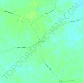
Name: Blackiston topographic map, elevation, terrain.
Location: Blackiston, Kent County, Delaware, 19938, United States (39.25067 -75.72049 39.29067 -75.68049)
Average elevation: 21 m
Minimum elevation: 15 m
Maximum elevation: 25 m
Thank you for supporting this site ❤️
Make a donation
Make a donation
Other topographic maps
Click on a map to view its topography, its elevation and its terrain.
Thank you for supporting this site ❤️
Make a donation
Make a donation
Thank you for supporting this site ❤️
Make a donation
Make a donation
Kent Acres
United States > Delaware > Kent County > Kent Acres > Woods Manor East
Average elevation: 8 m
Thank you for supporting this site ❤️
Make a donation
Make a donation