
Thank you for supporting this site ❤️
Make a donation
Make a donation
Hartly topographic map
Click on the map to display elevation.
Thank you for supporting this site ❤️
Make a donation
Make a donation
About this map
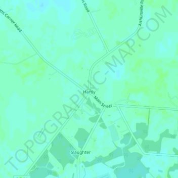
Name: Hartly topographic map, elevation, terrain.
Location: Hartly, Kent County, Delaware, United States (39.16584 -75.71550 39.17241 -75.70779)
Average elevation: 22 m
Minimum elevation: 18 m
Maximum elevation: 25 m
Thank you for supporting this site ❤️
Make a donation
Make a donation
Other topographic maps
Click on a map to view its topography, its elevation and its terrain.
Thank you for supporting this site ❤️
Make a donation
Make a donation
Thank you for supporting this site ❤️
Make a donation
Make a donation
Thank you for supporting this site ❤️
Make a donation
Make a donation