
Pagatpat topographic map
Interactive map
Click on the map to display elevation.
About this map
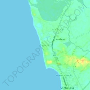
Name: Pagatpat topographic map, elevation, terrain.
Location: Pagatpat, Zambales, Central Luzon, 2213, Philippines (15.76164 119.87973 15.80164 119.91973)
Average elevation: 5 m
Minimum elevation: 0 m
Maximum elevation: 25 m
Other topographic maps
Click on a map to view its topography, its elevation and its terrain.