Geolocate

Deal topographic map

Click on the map to display elevation.

About this map

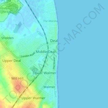
Name: Deal topographic map, elevation, terrain.

Location: Deal, Dover, Kent, England, United Kingdom (51.19915 1.35952 51.23883 1.40556)

Average elevation: 6 m

Minimum elevation: -2 m

Maximum elevation: 36 m

Other topographic maps

Click on a map to view its topography, its elevation and its terrain.

Rainham

United Kingdom > England > Kent

Average elevation: 52 m

Leadingcross Green

United Kingdom > England > Kent > Maidstone > Lenham

Average elevation: 118 m

Brenchley

United Kingdom > England > Kent > Tunbridge Wells

Average elevation: 68 m

Sittingbourne

United Kingdom > England > Kent > Borough of Swale

Average elevation: 37 m

Greenhithe

United Kingdom > England > Kent > Dartford

Average elevation: 18 m

Canterbury

United Kingdom > England > Kent > Canterbury

Average elevation: 50 m

The Masthead

United Kingdom > England > Kent > Sevenoaks

Average elevation: 149 m