
Waitākere Stream topographic map
Click on the map to display elevation.
About this map
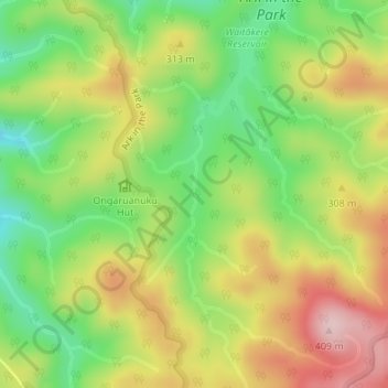
Name: Waitākere Stream topographic map, elevation, terrain.
Location: Waitākere Stream, Waitakere Ranges, Auckland, New Zealand (-36.91934 174.51809 -36.91412 174.51882)
Average elevation: 270 m
Minimum elevation: 155 m
Maximum elevation: 400 m
Auckland trails, hiking, mountain biking, running and outdoor activities
Other topographic maps
Click on a map to view its topography, its elevation and its terrain.
Waitākere Bay
New Zealand > Auckland > Waitakere Ranges > Te Henga / Bethells Beach
Average elevation: 18 m