
Bruksvallarna topographic map
Interactive map
Click on the map to display elevation.
About this map
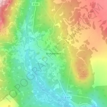
Name: Bruksvallarna topographic map, elevation, terrain.
Average elevation: 760 m
Minimum elevation: 643 m
Maximum elevation: 953 m
Other topographic maps
Click on a map to view its topography, its elevation and its terrain.
Stugun
Stugun, Ragunda kommun, Jämtland County, 830 76, Sweden
Average elevation: 282 m