
Roč topographic map
Interactive map
Click on the map to display elevation.
About this map
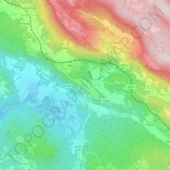
Name: Roč topographic map, elevation, terrain.
Location: Roč, Grad Buzet, Istria County, 52425, Croatia (45.37480 14.02404 45.41480 14.06404)
Average elevation: 380 m
Minimum elevation: 185 m
Maximum elevation: 696 m
Other topographic maps
Click on a map to view its topography, its elevation and its terrain.