
Wallis and Futuna topographic map
Interactive map
Click on the map to display elevation.
About this map
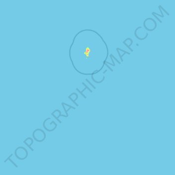
Name: Wallis and Futuna topographic map, elevation, terrain.
Location: Wallis and Futuna, France (-14.56307 -178.38737 -12.98280 -175.91904)
Average elevation: 0 m
Minimum elevation: 0 m
Maximum elevation: 134 m
Other topographic maps
Click on a map to view its topography, its elevation and its terrain.
Barricata
France > Nouvelle-Aquitaine > Pyrénées-Atlantiques > Aussurucq > Etxakokua
Average elevation: 260 m
Basse-Bretagne
France > Centre-Val de Loire > Indre-et-Loire > Château-la-Vallière
Average elevation: 89 m
La Patte au Loup
France > Centre-Val de Loire > Indre-et-Loire > Chouzé-sur-Loire
Average elevation: 31 m