
Kipkelion West topographic map
Interactive map
Click on the map to display elevation.
About this map
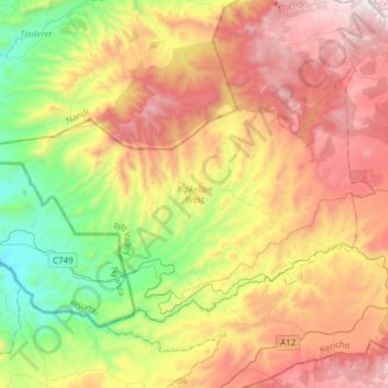
Name: Kipkelion West topographic map, elevation, terrain.
Location: Kipkelion West, Kericho County, Rift Valley, Kenya (-0.24585 35.22709 -0.04392 35.53332)
Average elevation: 2,014 m
Minimum elevation: 1,326 m
Maximum elevation: 2,830 m
Other topographic maps
Click on a map to view its topography, its elevation and its terrain.