
Ōmaha topographic map
Interactive map
Click on the map to display elevation.
About this map
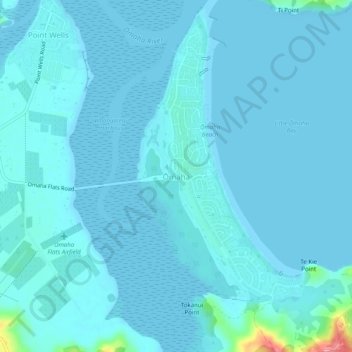
Name: Ōmaha topographic map, elevation, terrain.
Location: Ōmaha, Rodney, Auckland, 0986, New Zealand (-36.35999 174.75479 -36.31999 174.79479)
Average elevation: 7 m
Minimum elevation: 0 m
Maximum elevation: 102 m
Auckland trails, hiking, mountain biking, running and outdoor activities
Other topographic maps
Click on a map to view its topography, its elevation and its terrain.