
Llanwrtyd Wells topographic map
Interactive map
Click on the map to display elevation.
About this map
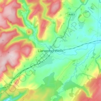
Name: Llanwrtyd Wells topographic map, elevation, terrain.
Location: Llanwrtyd Wells, Powys, Wales, LD5 4ST, United Kingdom (52.06448 -3.67867 52.14448 -3.59867)
Average elevation: 296 m
Minimum elevation: 168 m
Maximum elevation: 511 m
Other topographic maps
Click on a map to view its topography, its elevation and its terrain.