
Chongchuan District topographic map
Interactive map
Click on the map to display elevation.
Chongchuan District topographic map, elevation, terrain
About this map
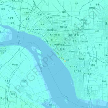
Name: Chongchuan District topographic map, elevation, terrain.
Location: Chongchuan District, Nantong, Jiangsu, 226000, China (31.78519 120.73113 32.14517 121.08008)
Average elevation: 3 m
Minimum elevation: -4 m
Maximum elevation: 95 m
Other topographic maps
Click on a map to view its topography, its elevation and its terrain.
Nanjing City
There are mainly two types of soil in Nanjing: zonal soil and cultivated soil. The zonal soil is yellow-brown soil in the northern and central areas of Nanjing, and red soil in the southern part of the border with Anhui. The cultivated soil formed by human-made farming is mainly paddy soil, and there are some…
Average elevation: 28 m