
Barton Seagrave topographic map
Interactive map
Click on the map to display elevation.
Barton Seagrave topographic map, elevation, terrain
Barton Seagrave
Other natives of the village include topographer John Bridges and his brother, Charles, a painter.
About this map
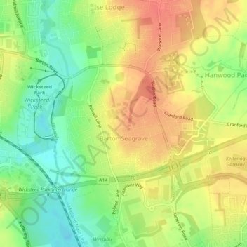
Name: Barton Seagrave topographic map, elevation, terrain.
Average elevation: 78 m
Minimum elevation: 51 m
Maximum elevation: 100 m
Other topographic maps
Click on a map to view its topography, its elevation and its terrain.