
San Agustin topographic map
Interactive map
Click on the map to display elevation.
About this map
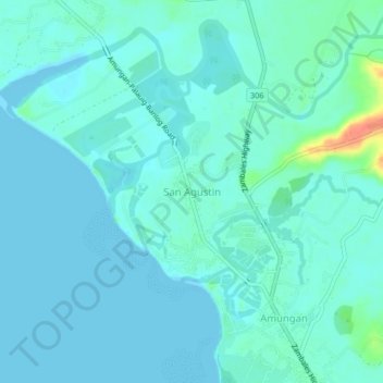
Name: San Agustin topographic map, elevation, terrain.
Location: San Agustin, Zambales, Central Luzon, Philippines (15.35730 119.92853 15.39730 119.96853)
Average elevation: 7 m
Minimum elevation: 0 m
Maximum elevation: 46 m
Other topographic maps
Click on a map to view its topography, its elevation and its terrain.