
Coatesville topographic map
Interactive map
Click on the map to display elevation.
About this map
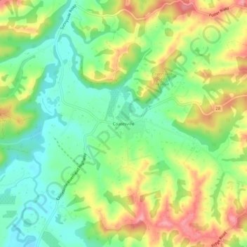
Name: Coatesville topographic map, elevation, terrain.
Location: Coatesville, Rodney, Auckland, 0793, New Zealand (-36.73703 174.61934 -36.69703 174.65934)
Average elevation: 63 m
Minimum elevation: 15 m
Maximum elevation: 127 m
Auckland trails, hiking, mountain biking, running and outdoor activities
Other topographic maps
Click on a map to view its topography, its elevation and its terrain.