
Kawau Island topographic map
Interactive map
Click on the map to display elevation.
About this map
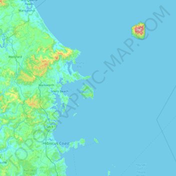
Name: Kawau Island topographic map, elevation, terrain.
Location: Kawau Island, Rodney, Auckland, New Zealand (-36.72878 174.53355 -36.08878 175.17355)
Average elevation: 29 m
Minimum elevation: 0 m
Maximum elevation: 654 m
Auckland trails, hiking, mountain biking, running and outdoor activities
Other topographic maps
Click on a map to view its topography, its elevation and its terrain.