
Totaranui Stream topographic map
Interactive map
Click on the map to display elevation.
About this map
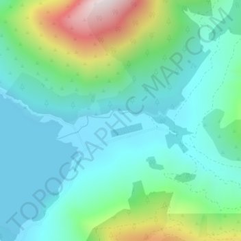
Name: Totaranui Stream topographic map, elevation, terrain.
Location: Totaranui Stream, Marlborough, New Zealand (-41.10332 174.04367 -41.09925 174.06242)
Average elevation: 177 m
Minimum elevation: 0 m
Maximum elevation: 731 m
Marlborough trails, hiking, mountain biking, running and outdoor activities
Other topographic maps
Click on a map to view its topography, its elevation and its terrain.