
Ōrere Stream topographic map
Interactive map
Click on the map to display elevation.
About this map
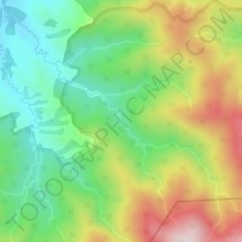
Name: Ōrere Stream topographic map, elevation, terrain.
Location: Ōrere Stream, Franklin, Auckland, New Zealand (-37.02379 175.19717 -37.01833 175.20275)
Average elevation: 315 m
Minimum elevation: 114 m
Maximum elevation: 612 m
Auckland trails, hiking, mountain biking, running and outdoor activities
Other topographic maps
Click on a map to view its topography, its elevation and its terrain.