
Mangawhai topographic map
Click on the map to display elevation.
About this map
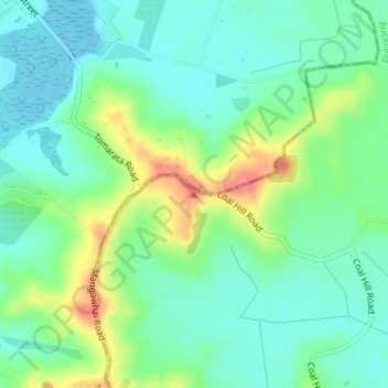
Name: Mangawhai topographic map, elevation, terrain.
Location: Mangawhai, Rodney, Auckland, 0975, New Zealand (-36.14190 174.59122 -36.14180 174.59132)
Average elevation: 24 m
Minimum elevation: 0 m
Maximum elevation: 75 m
Auckland trails, hiking, mountain biking, running and outdoor activities
Other topographic maps
Click on a map to view its topography, its elevation and its terrain.