
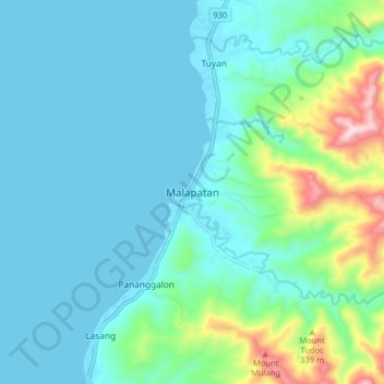
Malapatan topographic map
Interactive map
Click on the map to display elevation.
Malapatan topographic map, elevation, terrain
About this map
Name: Malapatan topographic map, elevation, terrain.
Location: Malapatan, Sarangani, Philippines (5.93075 125.24827 6.01075 125.32827)
Average elevation: 86 m
Minimum elevation: -1 m
Maximum elevation: 482 m
Other topographic maps
Click on a map to view its topography, its elevation and its terrain.