
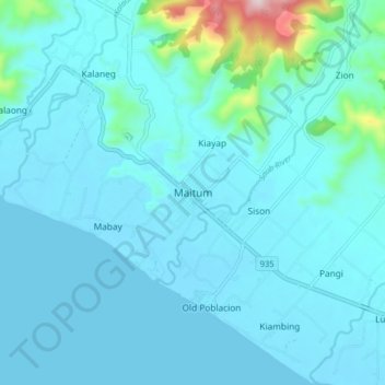
Maitum topographic map
Interactive map
Click on the map to display elevation.
Maitum topographic map, elevation, terrain
About this map
Name: Maitum topographic map, elevation, terrain.
Location: Maitum, Sarangani, 9515, Philippines (6.02104 124.45659 6.10104 124.53659)
Average elevation: 48 m
Minimum elevation: 0 m
Maximum elevation: 502 m
Other topographic maps
Click on a map to view its topography, its elevation and its terrain.