
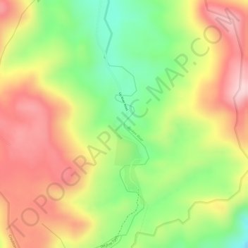
Broken River topographic map
Interactive map
Click on the map to display elevation.
About this map
Name: Broken River topographic map, elevation, terrain.
Location: Broken River, Queensland, Australia (-21.23467 148.54758 -21.22011 148.55276)
Average elevation: 868 m
Minimum elevation: 730 m
Maximum elevation: 983 m
Other topographic maps
Click on a map to view its topography, its elevation and its terrain.
Edmonton
Australia > Queensland > Edmonton
The average elevation of Edmonton, Cairns is 16.8 metres (55.1 feet) above sea level.
Average elevation: 96 m
Torres Strait
Several clusters of islands lie in the Strait, collectively called the Torres Strait Islands. There are at least 274 of these islands, of which 17 have present-day permanent settlements. These islands have a variety of topographies, ecosystems and formation history. Several of those closest to the New Guinea…
Average elevation: 0 m
Roma
Roma experiences a humid subtropical climate (Köppen: Cfa, Trewartha: Cfal); with hot summers with moderate rains; warm to hot, relatively dry springs and autumns; and mild, dry winters. Its location on the far south of the Carnarvon Range at an elevation of 299 metres above sea level means that it is cooler…
Average elevation: 315 m