
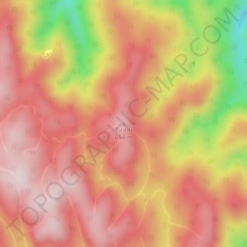
Tiritiri topographic map
Interactive map
Click on the map to display elevation.
Tiritiri topographic map, elevation, terrain
About this map
Name: Tiritiri topographic map, elevation, terrain.
Location: Tiritiri, Whakatane District, Bay of Plenty, New Zealand (-38.22896 176.95184 -38.22886 176.95194)
Average elevation: 506 m
Minimum elevation: 209 m
Maximum elevation: 653 m
Routes: Whakatane District GPS tracks, routes, trails, hikes
Other topographic maps
Click on a map to view its topography, its elevation and its terrain.