
Manutahi Island topographic map
Interactive map
Click on the map to display elevation.
About this map
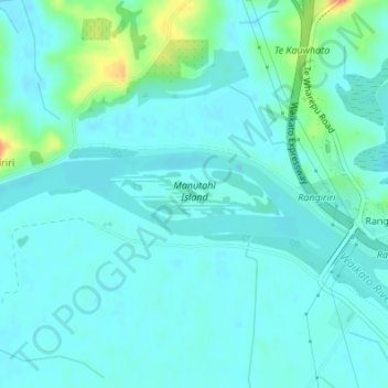
Name: Manutahi Island topographic map, elevation, terrain.
Location: Manutahi Island, Waikato District, Waikato, New Zealand (-37.43023 175.10940 -37.42656 175.12470)
Average elevation: 14 m
Minimum elevation: 5 m
Maximum elevation: 53 m
Waikato trails, hiking, mountain biking, running and outdoor activities
Other topographic maps
Click on a map to view its topography, its elevation and its terrain.
Matarangi Bluff
New Zealand > Waikato > Thames-Coromandel District > Rings Beach
Average elevation: 21 m