
Lake Whakamaru topographic map
Interactive map
Click on the map to display elevation.
About this map
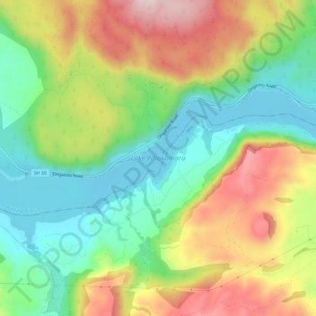
Name: Lake Whakamaru topographic map, elevation, terrain.
Average elevation: 399 m
Minimum elevation: 220 m
Maximum elevation: 653 m
Waikato trails, hiking, mountain biking, running and outdoor activities
Other topographic maps
Click on a map to view its topography, its elevation and its terrain.
Matarangi Bluff
New Zealand > Waikato > Thames-Coromandel District > Rings Beach
Average elevation: 21 m